who is using uber h3 and what for? (besides uber of course)
Replies
H3 was integrated into ClickHouse in 2019, and since then, I have heard many interesting stories. There are unusual ones, e.g., when it is used not to map data on Earth, but for astronomy (stars, galaxies).
Overture maps docs use it to visualize the coverage of Overture address data.
https://docs.overturemaps.org/guides/addresses/
Picture url: https://docs.overturemaps.org/assets/images/address-coverage...
H3 is commonly used for creating visualization aggregates e.g. creating visual summaries of data distribution. That was its primary design case.
amo is using it quite a lot, mainly for the scratch map feature in the Bump Map application, but not only.
Use cases are: - data storage - data aggregation/clustering - spatial indexing - geometrical computation (as long as you're OK with approximation, you can speed up a lot of things by working with CellID instead of actual geometries) - data visualization
I've seen it used by Databend, Helium, Breakroom (they did an Erlang binding on top of h3o), beaconDB, Greptime, Meilisearch. But I don't exactly know what they are using it for (just that they pulled h3o in their projects).
We use it at Neighbor.com for a lot of data analysis in our marketplace, things like our price recommendations, supply and demand balances, etc.
I’ve used h3 for a game. Since they align with an unique hex, I can ensure that one cell grid aligns and is placed on the same place in the world, where players could then compete on.
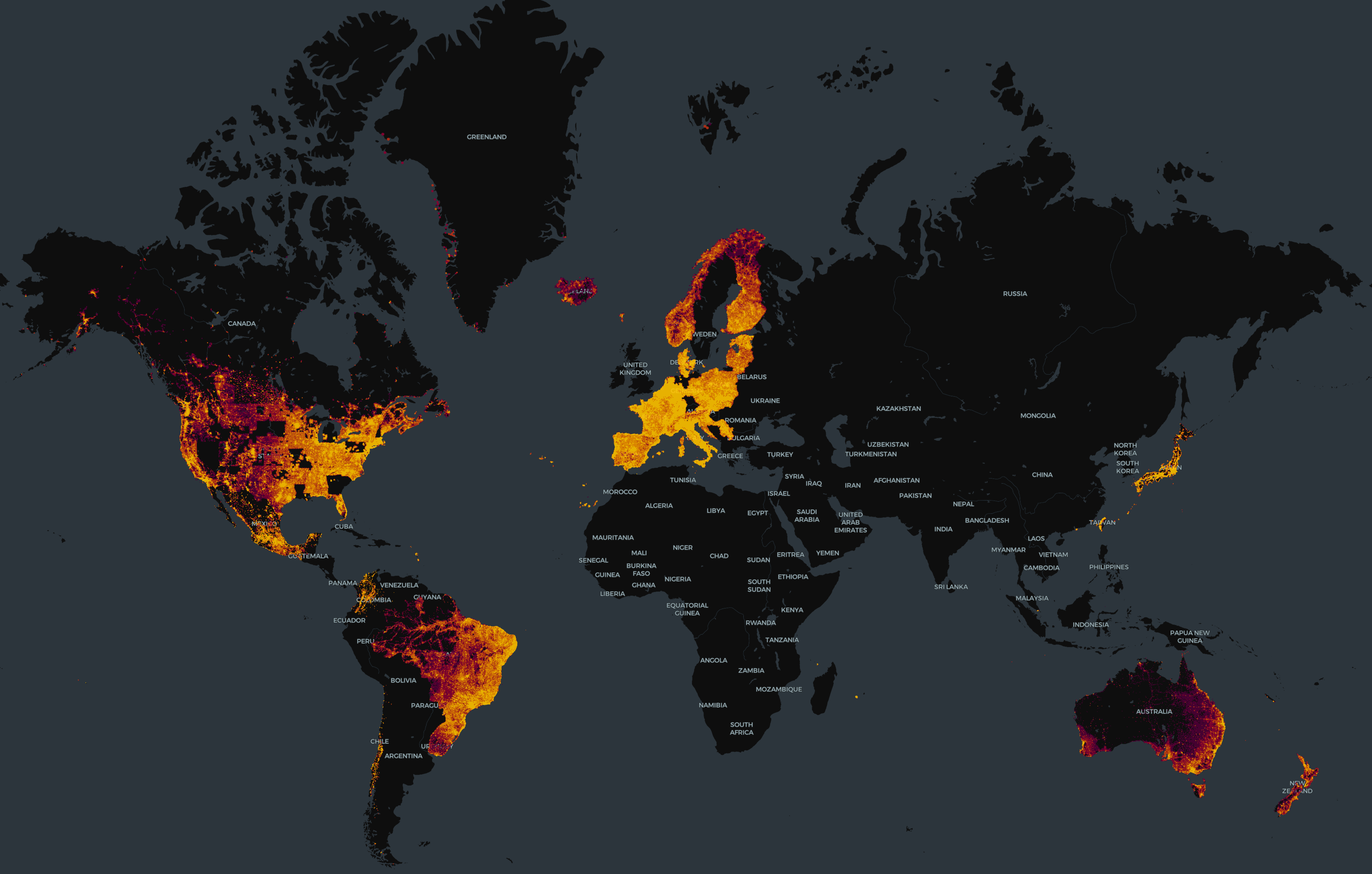
As one example, the U.S. Federal Communications Commission uses it in its Broadband Data Collection program. You can see some of how it's been implemented here: https://broadbandmap.fcc.gov/
Edit: It seems some people get a blocked message when visiting the base url. The home path may work better? https://broadbandmap.fcc.gov/home