Some Latin American cities were designed as grids (100m x 100m squares), and numbering of blocks spans a hundred per block (first block is 0 to 100 house numbers).
So if you are at 200s in one street and are looking for a house at 1200s, you know you are a kilometer away.
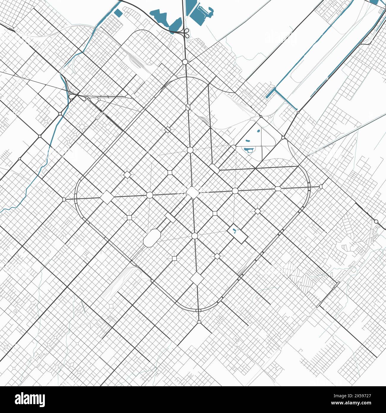
This with numbered streets is awesome to navigate. Buenos Aires has the first, but named streets. La Plata in Argentina has both.
If you are into maps see an air pic of La Plata.
https://c8.alamy.com/comp/2X59727/detailed-map-of-la-plata-c...